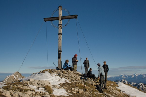
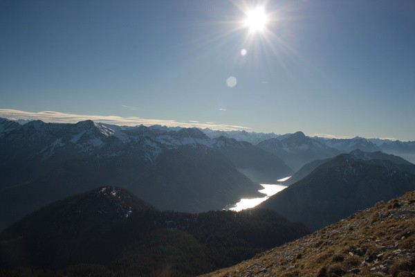
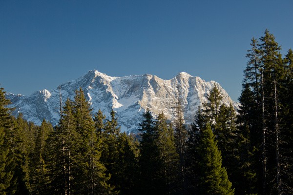
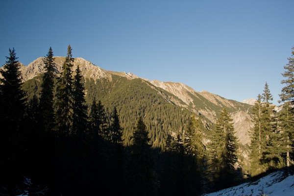
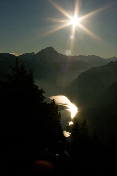
38) Bergtour 02.11.2007
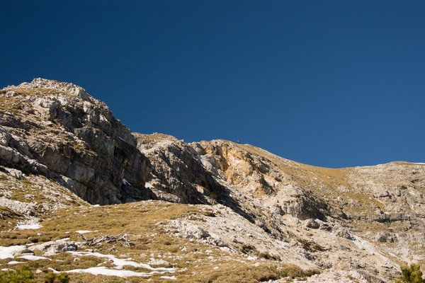
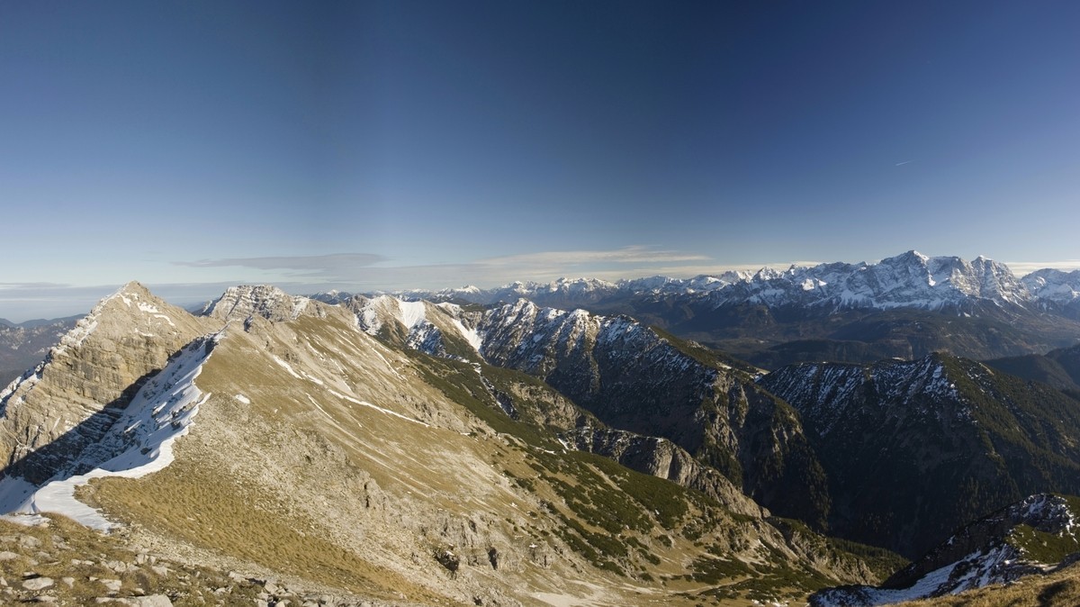
| Gipfel: | Kreuzjöchl (1900 m), Westlicher Geierkopf (2143 m), Schönjöchl (1661 m) |
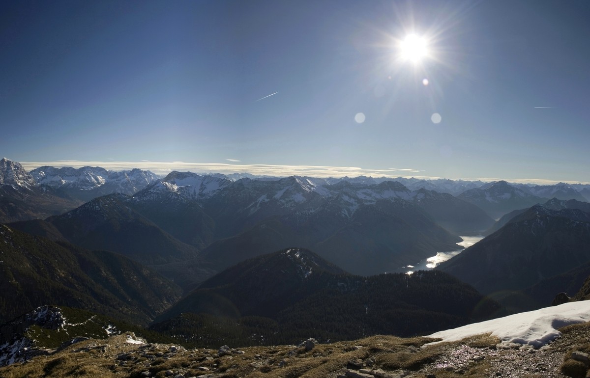
| Höhendifferenz: | Auf-/Abstieg 1345hm |
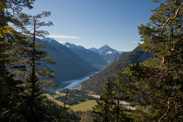
| Talort/Ausgangspunkt: | Plansee, Hotel Forelle (976m) |
| Aufstieg: | Vom Parkplatz am Plansee auf Weg 243 |
| Abstieg: | Weg 243 über das Schönjöchl |
| Kartenmaterial: | Kompass Wanderkarte Nr. 5: Wettersteingebirge (1:50000) Bayrisches Landesvermessungsamt UK-L 31: Werdenfelser Land (1:50000) |
 |
 |
 |
|
 |
|
 |
 |
 |
 |
 |
 |
 |
 |
 |
|