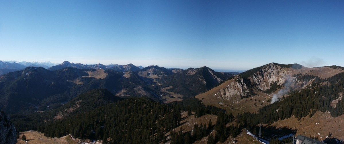
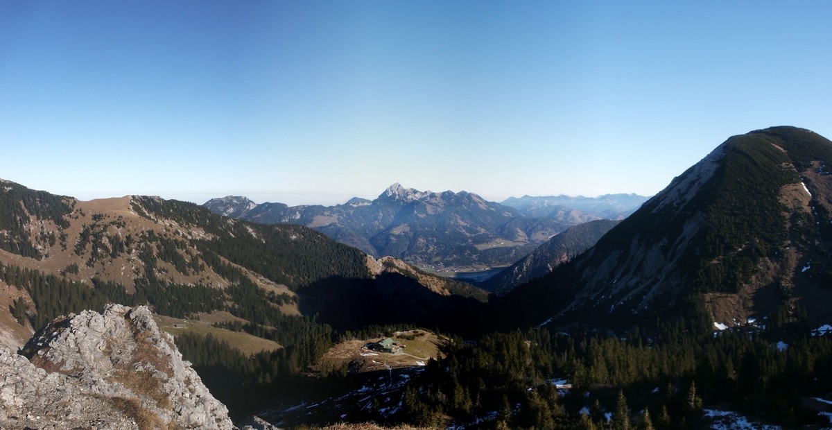
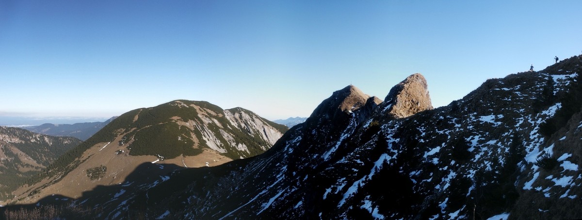
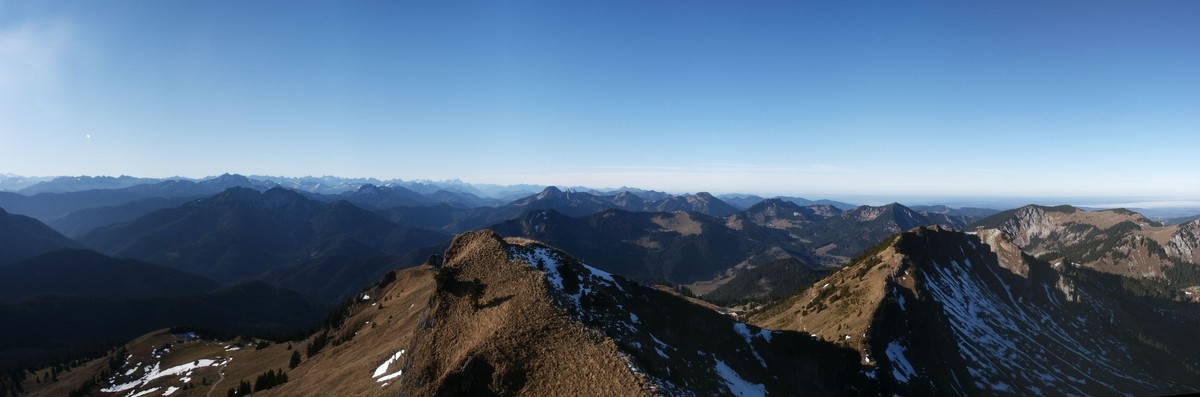
40) Bergtour 02.12.2006
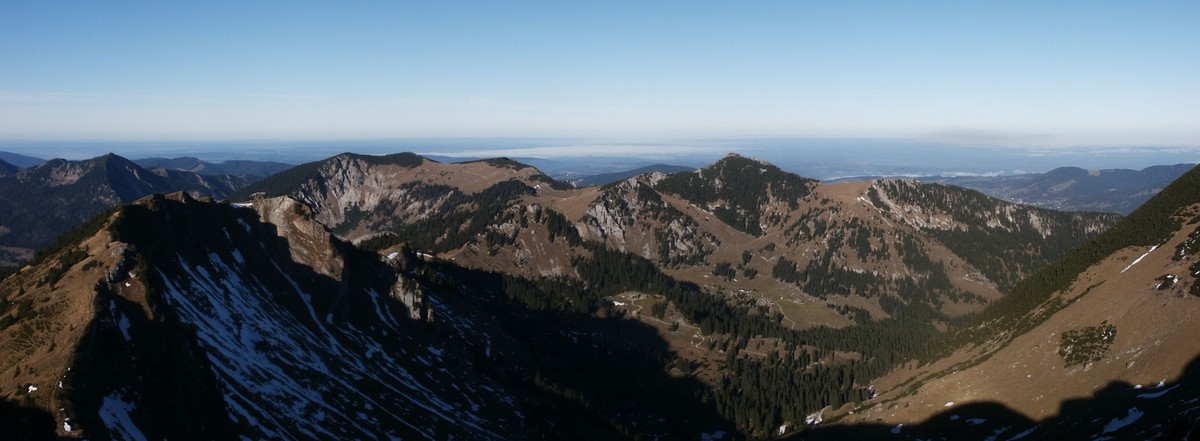
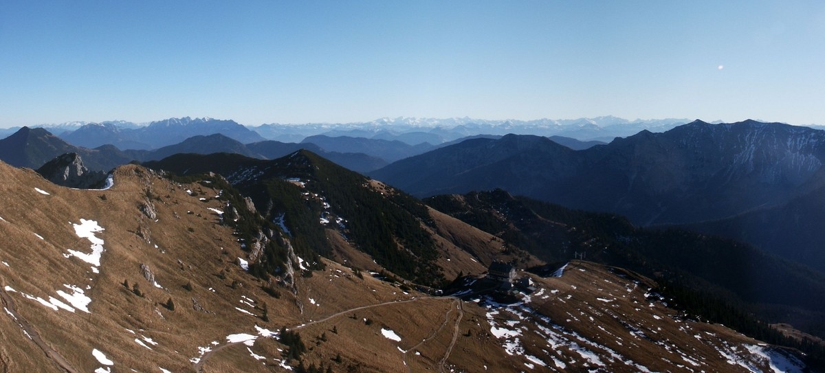
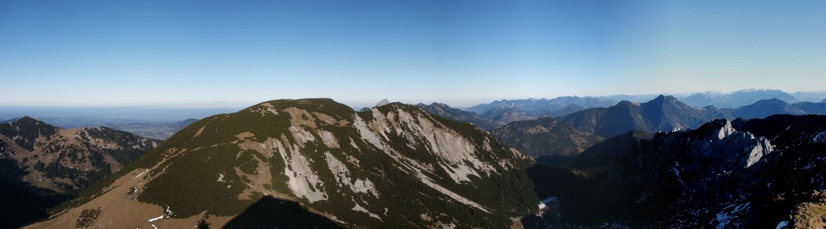
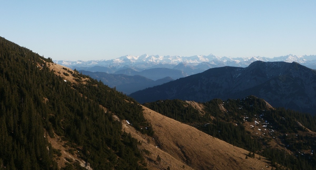
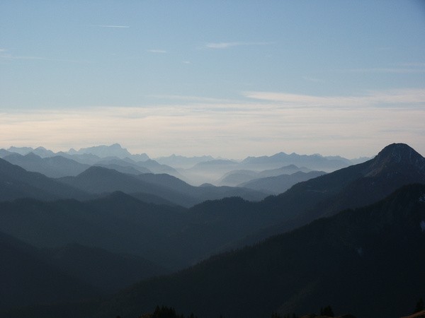
| Gebiet: | Bayrische Voralpen (Mangfallgebirge) |
| Stützpunkte: | Untere Maxlrainer Alm (1263 m), Obere Maxlrainer Alm (1520 m), Rotwandhaus (1737 m) |
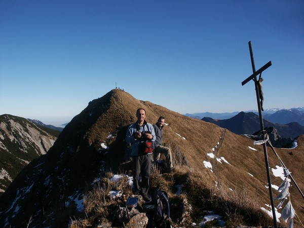
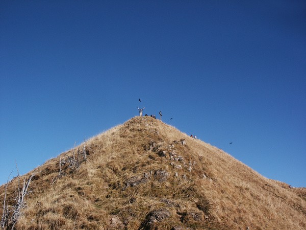
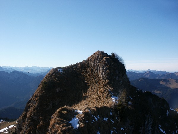
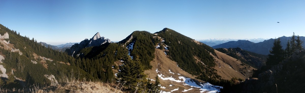
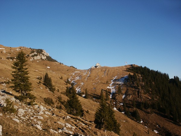
| Gipfel: | Taubenstein (1692 m), Rotwandkopf (1858 m) |
| Höhendifferenz: | Auf-/Abstieg 935hm |
| Talort/Ausgangspunkt: | Spitzingsee |
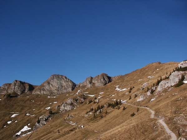
| Aufstieg: | Wege 645/645a und 642 über den Taubenstein |
| Abstieg: | Über das Rotwandhaus auf Weg 645 |
| Kartenmaterial: | Alpenvereinskarte Nr. 7/1: Tegernsee, Schliersee (1:25000) Alpenvereinskarte Nr. BY16: Mangfallgebirge Ost - Wendelstein (1:25000) |
 |
|
 |
|
 |
|
 |
|
 |
|
 |
|
 |
|
 |
 |
 |
 |
 |
|
 |
|
 |
|
 |
|
 |
 |
 |
 |
 |
|