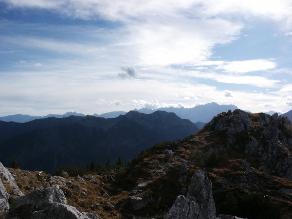
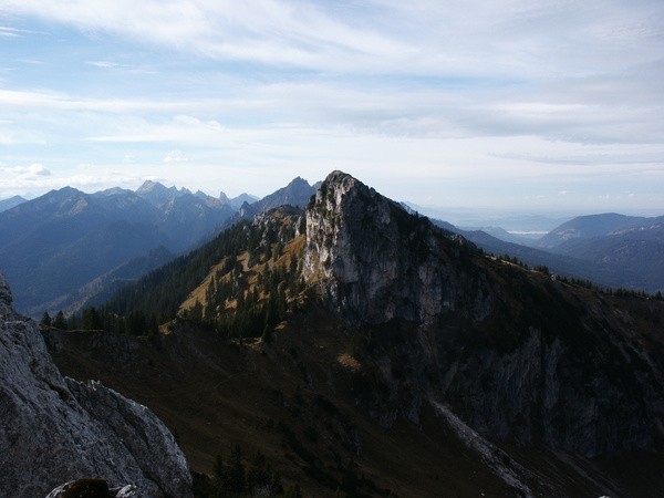
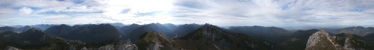
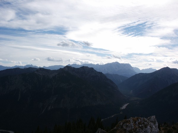
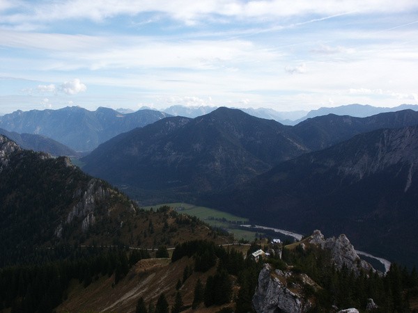
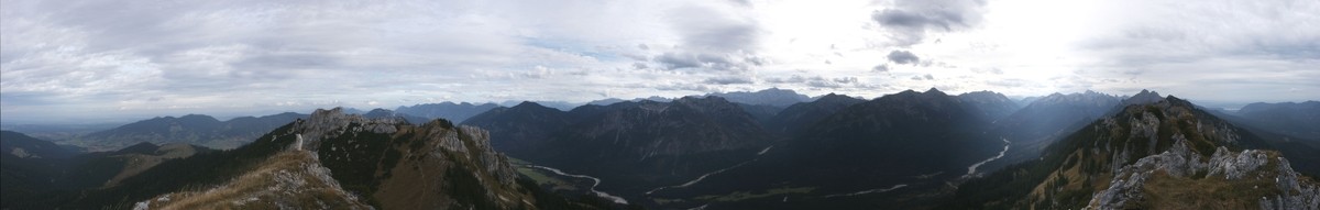
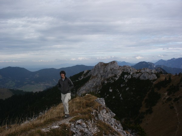
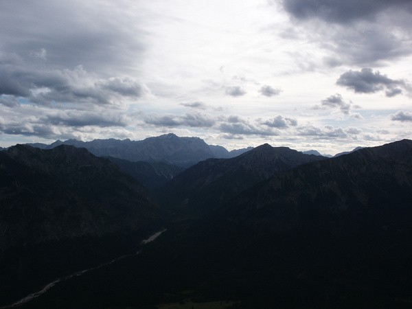
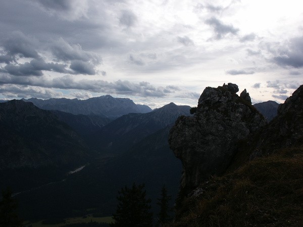
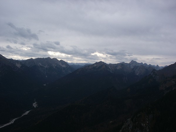
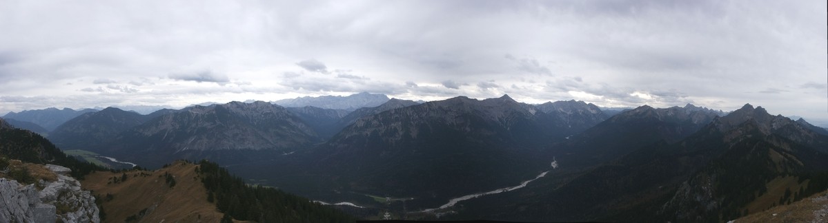
38) Bergtour 28.10.2006
| Gebiet: | Ammergauer Alpen |
| Stützpunkte: | Pürschlinghaus (1564 m) |
| Gipfel: | Pürschling (1566 m), Teufelstättkopf (1758 m), Laubeneck (1758 m), Hennenkopf (1768 m) |
| Höhendifferenz: | Auf-/Abstieg 1175hm |
| Talort/Ausgangspunkt: | Parkplatz bei Schloß Linderhof (gebührenpflichtig) |
| Aufstieg: | Vom Parkplatz über Weg 232 zum Pürschlinghaus, weiter auf Weg 235 |
| Abstieg: | Weg 231 nach Linderhof |
| Kartenmaterial: | Alpenvereinskarte Nr. BY7: Ammergebirge Ost - Pürschling, Hörnle (1:25000) Bayrisches Landesvermessungsamt UK-L 31: Werdenfelser Land (1:50000) |
 |
 |
 |
 |
 |
 |
 |
 |
 |
 |
 |
|
 |
 |
 |
|
 |
 |
 |
 |
 |
|
 |
|
 |
 |