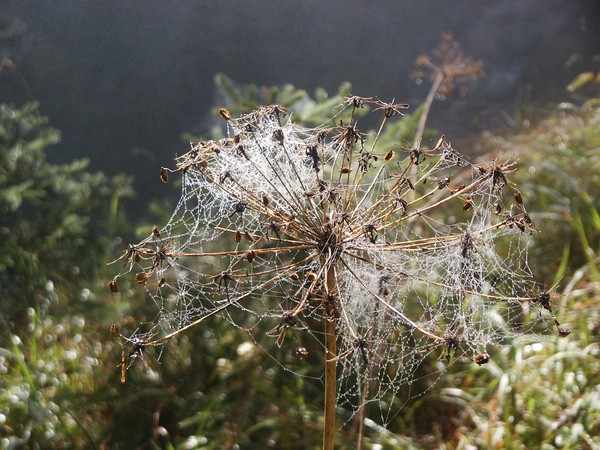
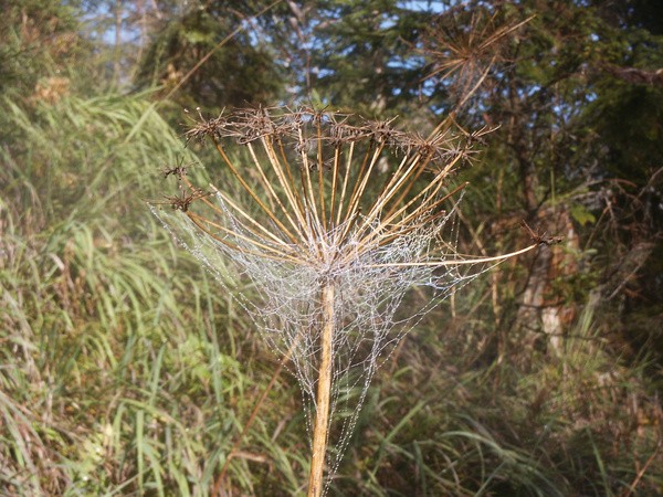
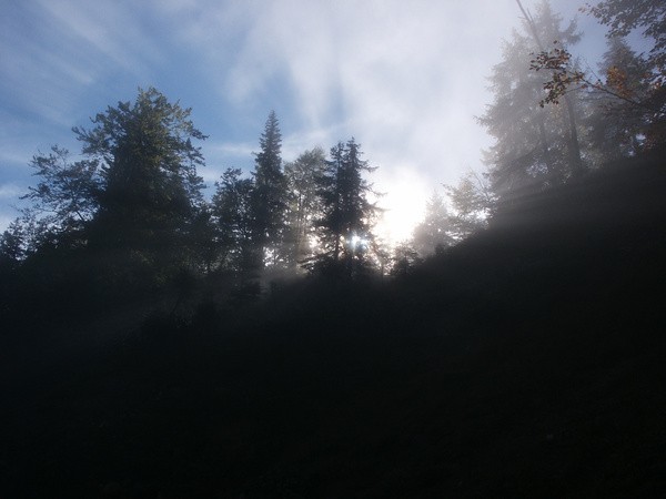
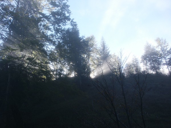
37) Bergtour 08.10.2006
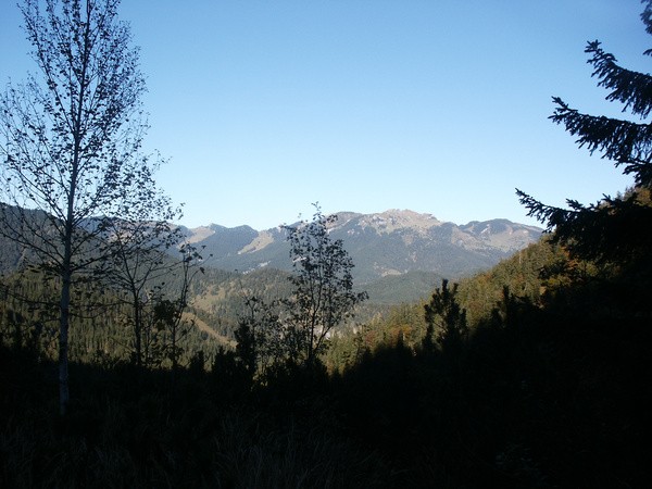
| Gebiet: | Bayrische Voralpen (Mangfallgebirge) |
| Stützpunkte: | Trausnitzalm (1435 m) |
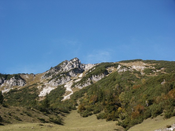
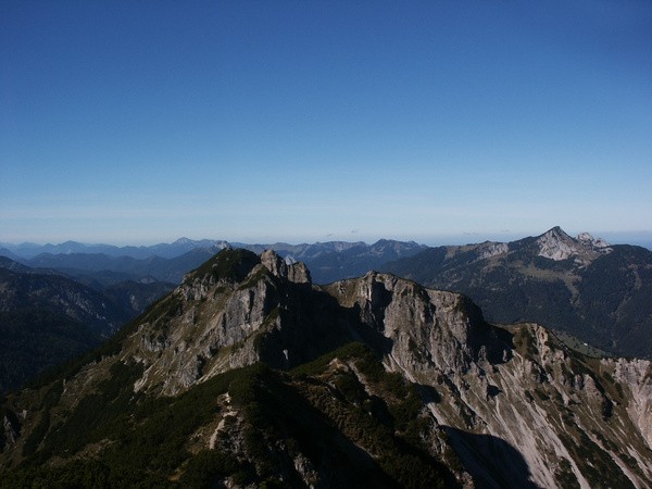
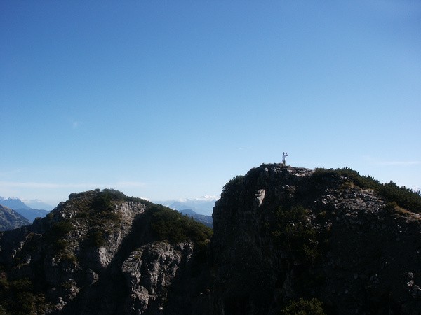
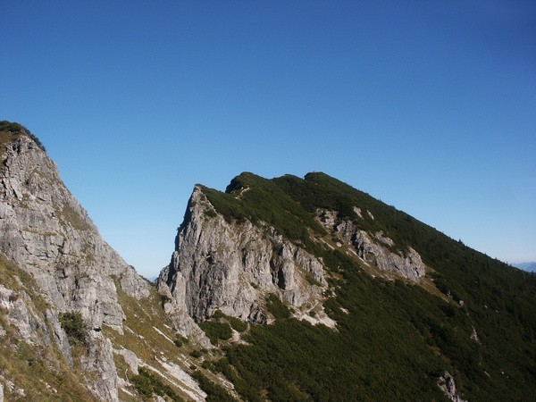
| Gipfel: | Trausnitzberg (Österreichischer Schinder) (1808 m), Bayrischer Schinder (1796 m) |
| Höhendifferenz: | Auf-/Abstieg 1050hm |
| Talort/Ausgangspunkt: | Valepp |
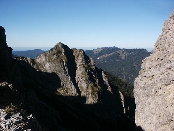
| Aufstieg: | Vom Parkplatz über die Trausnitzalm zum Gipfel |
| Abstieg: | Durch das Schinderkar |
| Kartenmaterial: | Alpenvereinskarte Nr. 7/1: Tegernsee, Schliersee (1:25000) Alpenvereinskarte Nr. BY15: Mangfallgebirge Mitte - Spitzingsee, Rotwand (1:25000) |
 |
 |
 |
 |
 |
 |
 |
 |
 |
 |
 |
 |
 |