23) Bergtour 17.06.2006
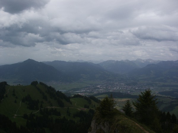
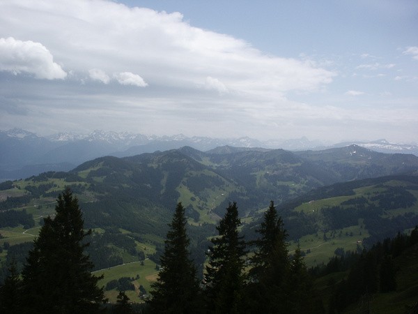
| Gebiet: | Allgäuer Alpen |
| Stützpunkte: | Dürrenhornalpe (1157 m), Vordere Krumbachalpe (1325 m) |
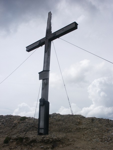
| Gipfel: | Steineberg (1683 m) |
| Höhendifferenz: | Auf-/Abstieg 805hm |
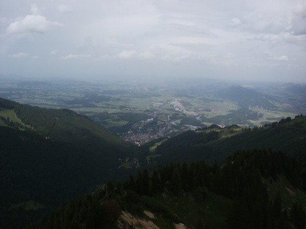
| Talort/Ausgangspunkt: | Gunzesried |
| Aufstieg: | über Dürrenhornalpe und Vordere Krumbachalpe |
| Abstieg: | wie Aufstieg |
| Kartenmaterial: | Alpenvereinskarte Nr. BY1: Allgäuer Voralpen West - Nagelfluhkette, Hörnergruppe (1:25000) Regio Cart 651.11465: Allgäu (westlicher Teil) (1:50000) |
 |
 |
 |
 |