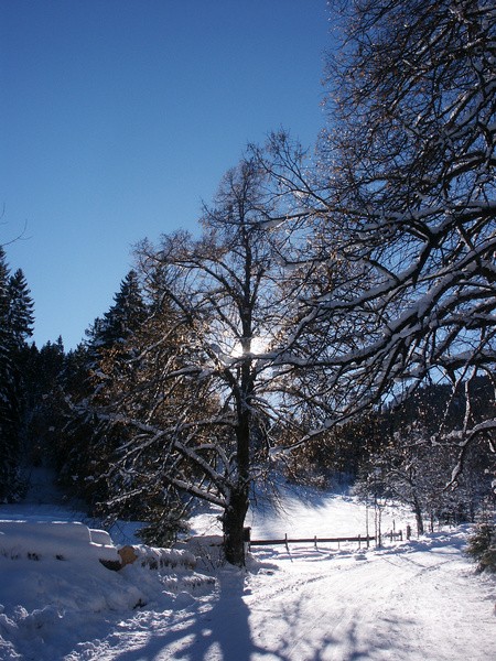
2) Rodeln 11.01.2006
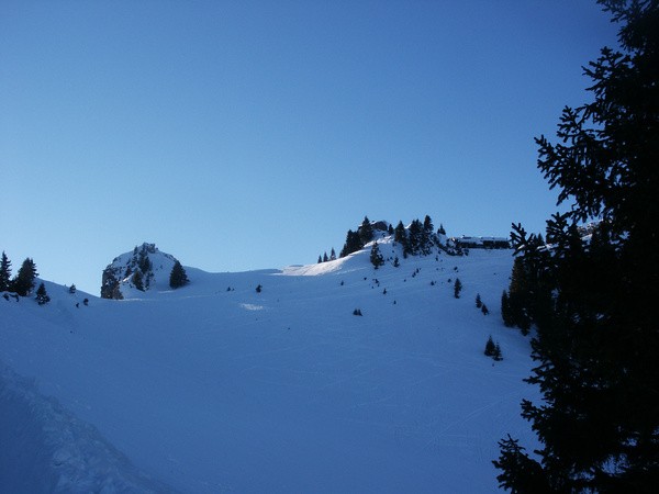
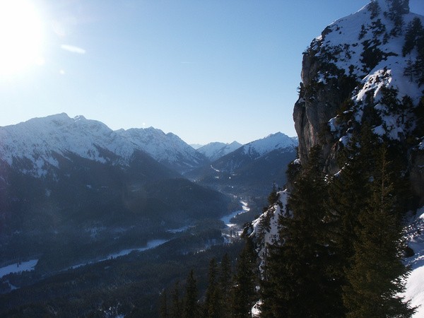
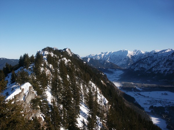
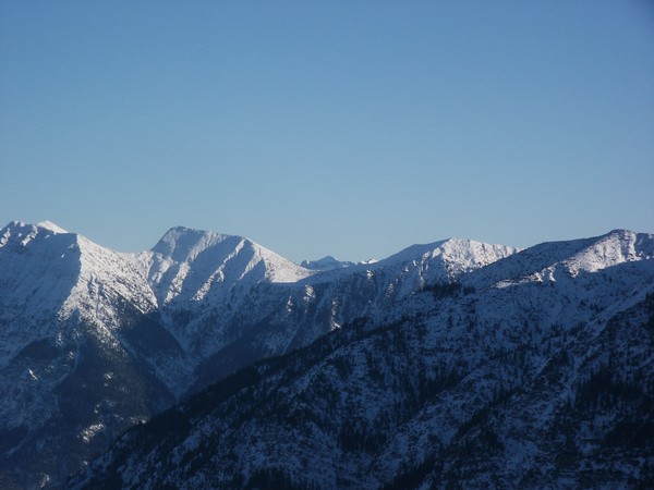
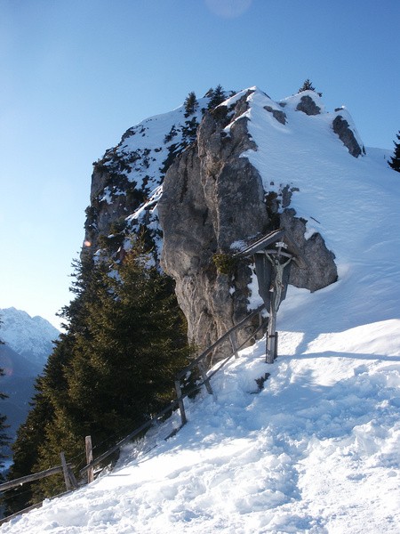
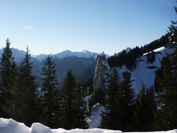
| Gebiet: | Ammergauer Alpen |
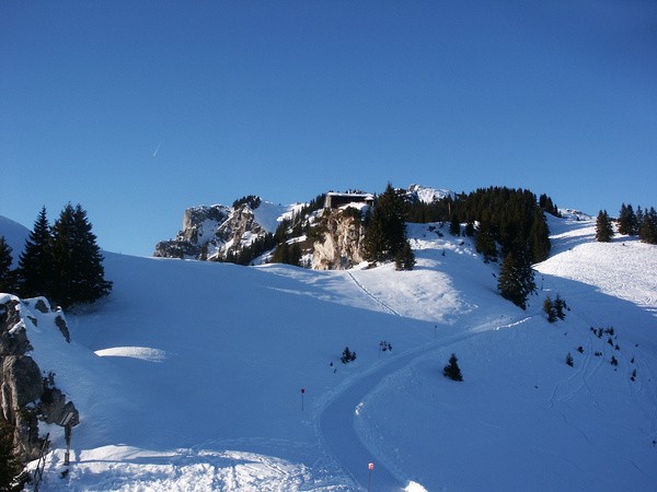
| Stützpunkte: | Pürschlinghaus (1564 m) |
| Gipfel: | Pürschling (1566 m) |
| Höhendifferenz: | Auf-/Abstieg 770hm |
| Talort/Ausgangspunkt: | Unterammergau |
| Aufstieg: | auf Weg 22 (Rodelbahn) zum Pürschlinghaus |
| Abstieg: | wie Aufstieg |
| Kartenmaterial: | Alpenvereinskarte Nr. BY7: Ammergebirge Ost - Pürschling, Hörnle (1:25000) |
 |
 |
 |
 |
 |
 |
 |
 |
 |
 |
 |
 |
 |
 |
 |